
Empowering Future Environmentalists through GIS Learning at Abbeygate Sixth Form College
- VanguardGeo Team

- Nov 20, 2025
- 3 min read
Updated: Mar 13
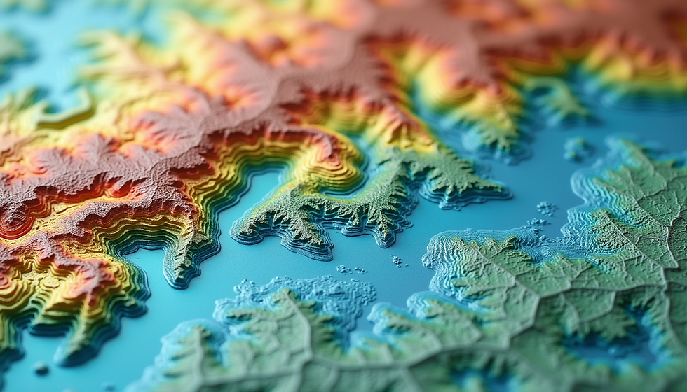
Geographic Information Systems (GIS) have become vital tools in addressing environmental challenges. From tracking biodiversity to planning climate-resilient communities, GIS helps us understand and protect our planet. Recently, students at Abbeygate Sixth Form College (https://www.abbeygatesfc.ac.uk) experienced this firsthand during an interactive workshop hosted by VanguardGeo. The session demonstrated how environmental GIS combines digital mapping, data analysis, and science to support conservation and climate planning.

What Students Learned about Environmental GIS
The workshop introduced students to the core concepts and practical uses of GIS in environmental science. Key topics included:
What GIS is and how it works
Students explored how GIS integrates spatial data with analysis tools to visualize and interpret environmental information.
Applications across sectors
Examples showed GIS use in urban planning, agriculture, disaster management, and conservation.
The geospatial data lifecycle
From data collection and processing to analysis and sharing, students understood how GIS projects progress.
Real environmental case studies
Practical examples illustrated GIS in action, such as mapping habitats, monitoring urban growth, and assessing natural hazards.
Students also worked with datasets related to:
Biodiversity mapping and habitat monitoring
Urban and coastal change analysis
Sustainable land management
Hazard and risk assessment including flooding and coastal erosion
Climate planning and resilience modeling
This hands-on approach helped students see how environmental GIS supports decision-making that benefits ecosystems and communities.
How GIS Supports Environmental Conservation and Climate Planning
GIS plays a crucial role in managing natural resources and preparing for climate impacts. The workshop highlighted several areas where GIS makes a difference:
Coastal Management
GIS helps map coastal erosion patterns and model sea-level rise scenarios. By identifying vulnerable communities and habitats, planners can prioritize protection efforts and design adaptive strategies.
Hazard and Risk Management
Using geospatial data, experts analyze earthquake zones, tsunami risks, wildfire spread, and flood-prone areas. This information guides emergency preparedness and reduces disaster impacts.
Sustainability and Green Infrastructure
GIS supports the planning of urban green spaces, tree canopies, and low-carbon infrastructure. Mapping these features helps cities improve air quality, reduce heat islands, and enhance residents’ well-being.
These examples show how environmental GIS provides clear, data-driven insights that improve conservation outcomes and climate resilience.

Building Skills for Environmental GIS Careers
For students inspired by the workshop, developing GIS skills opens doors to careers in environmental science, planning, and conservation. VanguardGeo offers self-paced learning tracks tailored to different experience levels:
Basic GIS for Environmental Science and Conservation
A beginner-friendly, project-based introduction to GIS concepts and tools.
Intermediate GIS for Environmental Science and Conservation
Focuses on applying GIS using real environmental datasets to solve practical problems.
These courses provide hands-on experience with software and data, helping learners build confidence and expertise in environmental GIS.
Why Environmental GIS Matters for the Future
Environmental challenges like climate change, habitat loss, and natural disasters require informed action. GIS equips future environmentalists with the tools to analyze complex data and make decisions that protect ecosystems and communities.
The workshop at Abbeygate Sixth Form College showed how learning GIS can inspire young people to contribute meaningfully to conservation and climate planning. By combining technology with environmental science, students gain skills that are increasingly valuable in a changing world.
If you want to explore environmental GIS further, consider starting with beginner courses (Self-Paced Programs) or joining local workshops (GIS Workshop). Building these skills today prepares you to help shape a sustainable future.


Comments